Recently, Tianjin Blue Hole Instrument Co., Ltd. joined hands with top domestic research institutes to officially launch the Sagsea series fiber optic inertial navigation system. This product has undergone multiple rounds of technical research and practical testing. In the recent comparative test with international mainstream inertial navigation systems, the data accuracy has reached the same level, and some indicators have performed excellently, marking a solid step forward for China in the field of high-end marine navigation equipment.
Benchmarking internationally, with reliable accuracy
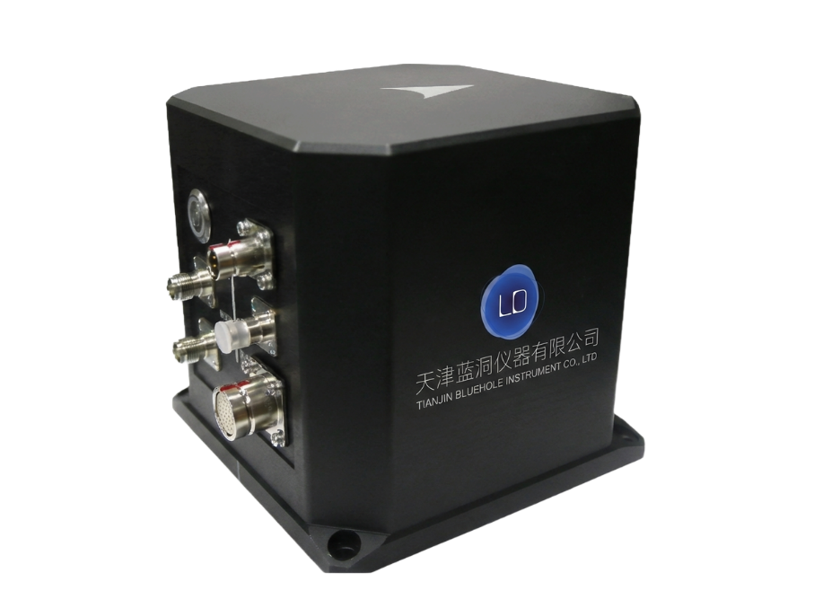
As a professional high-precision navigation product, the Sagsea series is based on advanced fiber optic gyroscope technology and integrates multi-mode positioning systems such as GPS, Beidou PPP, RTK, etc., supporting seamless switching between satellite navigation combination and pure inertial navigation. In recent comparative tests organized, the Sagsea series competed with well-known foreign brand inertial navigation systems on the same stage. The test results showed that the heading accuracy was ≤ 0.05 ° sec (RMS), the attitude accuracy was ≤ 0.01 °, the real-time heave accuracy was 5cm or 5% wave height, and the data stability and consistency reached the international mainstream level. In pure inertial navigation mode, the 1-hour heading drift is ≤ 0.1 ° and the position accuracy is ≤ 2 nautical miles (CEP50), fully verifying the system's autonomous navigation capability in the absence of satellite signals.
Full source navigation, multi-dimensional coverage
The Sagsea series has full source navigation and multi-mode positioning capabilities, and can automatically switch positioning modes according to the work scenario. In RTK mode, the horizontal accuracy can reach 20mm+1ppm, meeting high-precision surveying and mapping requirements; Under the Beidou PPP mode, a positioning accuracy of 0.3m can be achieved, providing autonomous and controllable navigation support for offshore operations. The system is equipped with a 32GB large capacity storage card, which can fully record all inertial data and support fine calculation and analysis in the later stage.
Durable and reliable, adaptable and flexible
In response to the unique characteristics of the marine environment, the Sagsea series features a titanium alloy casing and an IP65 or higher protection level, which provides salt spray and corrosion resistance and can adapt to harsh sea conditions for a long time. Modular system design supports split installation (Sagsea I-D), IMU unit can be deployed underwater, and the deck unit integrates GNSS receiver module to meet the integration requirements of different platforms. 4-channel 232/422 configurable interfaces for 10/100M network communication, compatible with various peripherals such as multi beam depth measurement, underwater robots, and engineering ships.
Widely used and recognized by users
Since its launch, the Sagsea series has been applied in fields such as ocean surveying, underwater robot navigation, ship dynamic positioning, and ocean engineering support. After trial use, a marine geological survey unit stated that "in multi beam depth measurement operations, the attitude and heave data provided by Sagsea are stable and reliable, highly consistent with the synchronous comparison results of imported equipment, and can fully meet the requirements of high-precision surveying tasks. ”
The person in charge of Tianjin Blue Hole Instrument Co., Ltd. stated that the birth of the Sagsea series is an important step for domestic high-end navigation equipment to move from 'usable' to 'easy to use'. We firmly believe that products that have been rigorously tested and validated can provide domestic marine users with more reliable and cost-effective localization options. ”
In the future, Tianjin Blue Hole Instrument will continue to deeply cultivate ocean navigation and positioning technology, promote the independent controllability of more core equipment, and contribute to the development of China's marine industry.


