Kongsberg EM Series Shallow-Water Multibeam Echosounder
High-Efficiency Wide-Area Mapping
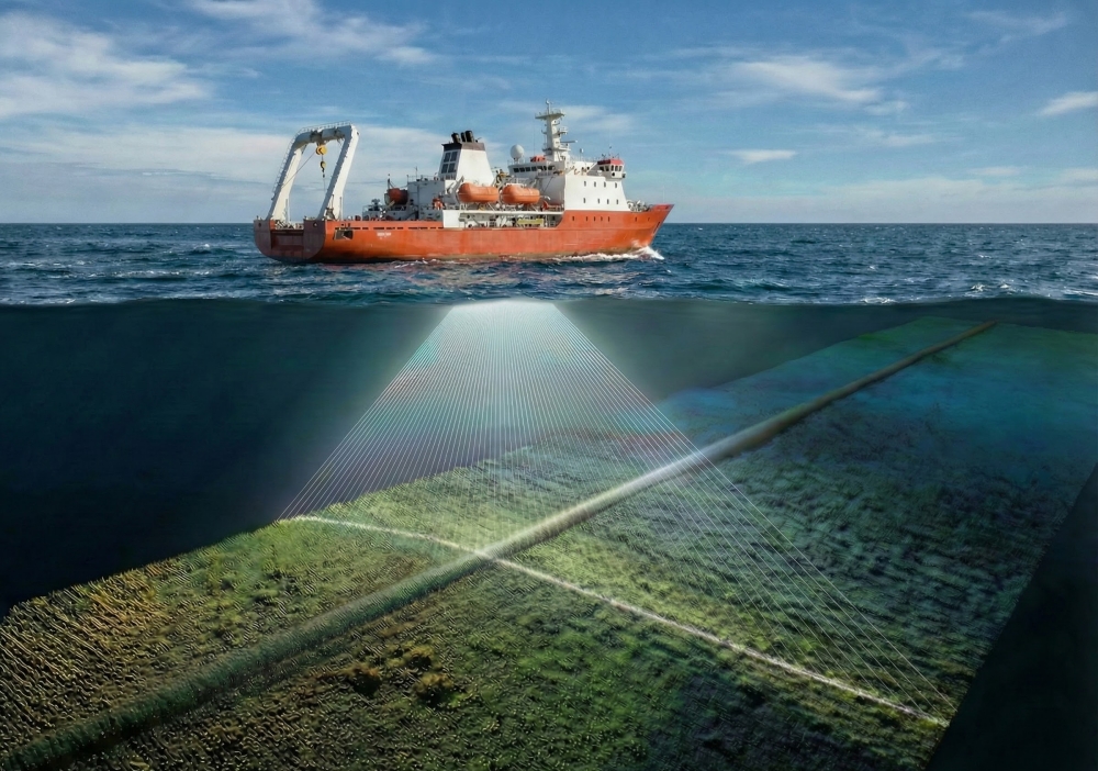
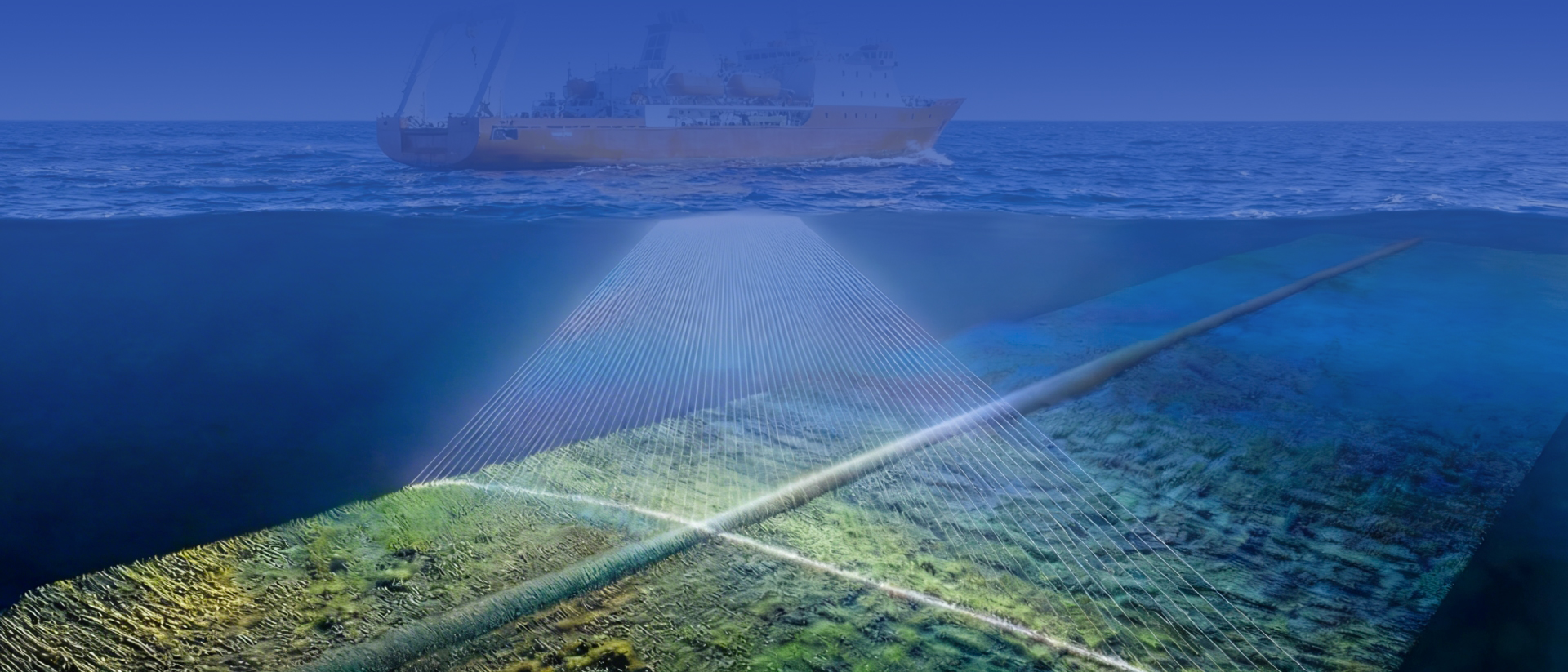
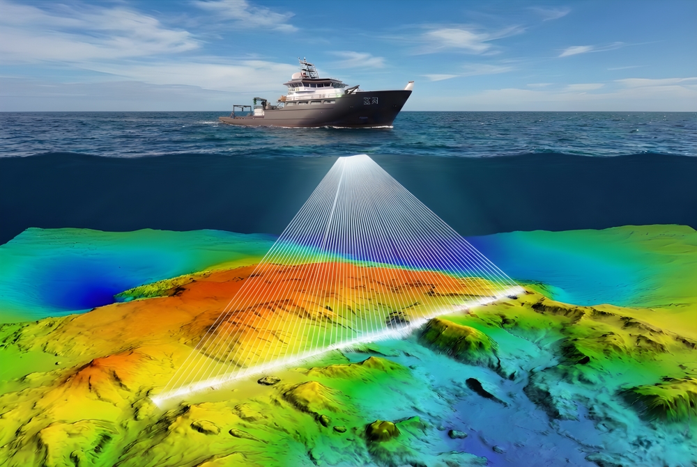
Realize large-scale and high-precision underwater terrain mapping of pipeline corridors, and quickly identify macroscopic terrain features such as undulations, sand waves, and gullies.
Precise Pipeline Positioning
By combining high-resolution terrain data, it is possible to preliminarily determine the approximate direction of the pipeline and whether there are significant signs of suspension.
Multi-Platform Adaptability
According to project requirements, models suitable for shipborne, USV, or ROV/AUV platforms can be selected for flexible deployment.