The seabed holds the keys to understanding Earth's tectonics, resources, and climate history. Unlocking that record requires comprehensive data—from seafloor morphology to deep basement structures.

Bluehole Instruments delivers a full-chain survey solution integrating acoustic and magnetic technologies. High-precision multibeam, side-scan, and sub-bottom profilers map terrain and shallow sediments, while marine magnetometers reveal basement geology and structural boundaries. Together, they provide the evidence needed to reconstruct geological history and assess resource potential.

Solution Value

  • 01

    Precision Geological Modeling

    Integrates multi-source geophysical data to build 3D models of topography, sediment thickness, basement structure, and magnetic anomalies.

  • 02

    Uncover Key Geology

    Identifies faults, seamounts, fans, and paleochannels—advancing research in plate tectonics, sedimentary dynamics, and paleoenvironments.

  • 03

    Supports Mineral Resource Exploration

    Provides geophysical basis for prospecting cobalt-rich crusts, polymetallic nodules, and seafloor massive sulfides through magnetic anomaly interpretation and other techniques.

  • 04

    Unmatched Data Quality

    Industry-leading, dead-zone-free magnetometers and high-resolution acoustics deliver clean raw data for precise interpretation.

Core Equipment

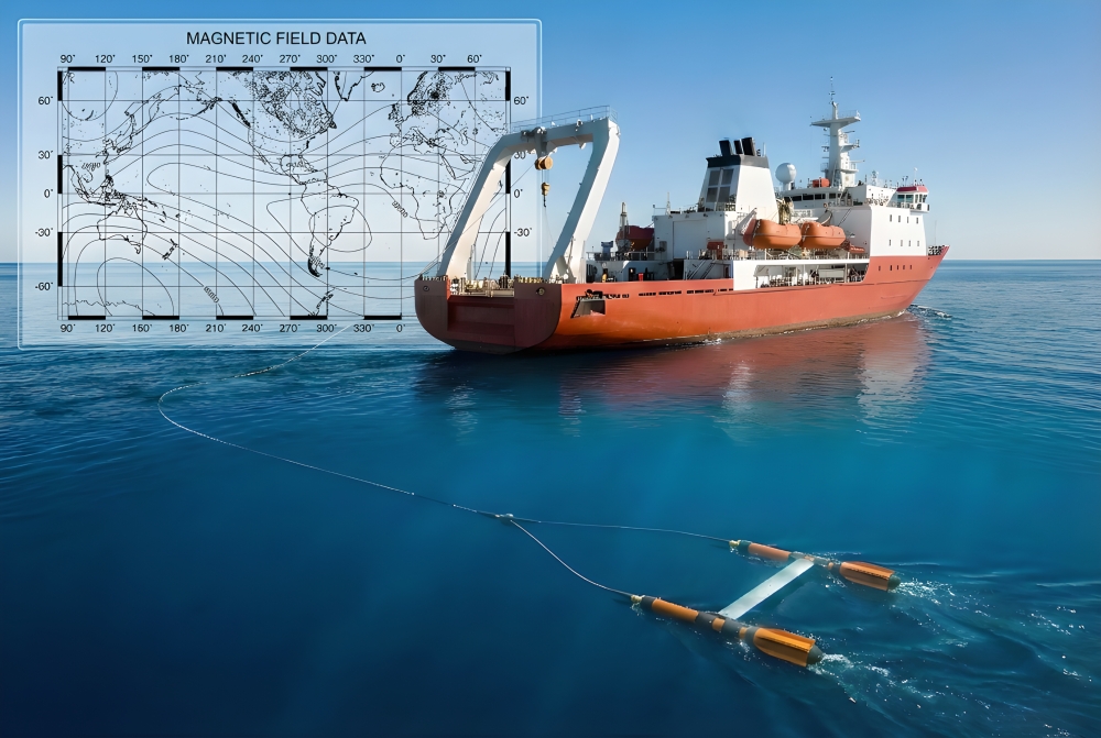
  • High-Precision Marine Magnetometry System

    Dead-Zone-Free, High-Accuracy Detection

    Marine Magnetics SeaSPY2 or Explorer series Overhauser magnetometers deliver 0.1 nT absolute accuracy with true omni-directional, dead-zone-free measurement—ensuring reliable, continuous magnetic data in any sea conditions worldwide.

    Revealing Deep Geological Structures

    Magnetic anomalies provide an indirect but effective means of mapping seabed basement lithology, Curie point depth, and deep tectonic features such as mid-ocean ridges and fault zones.

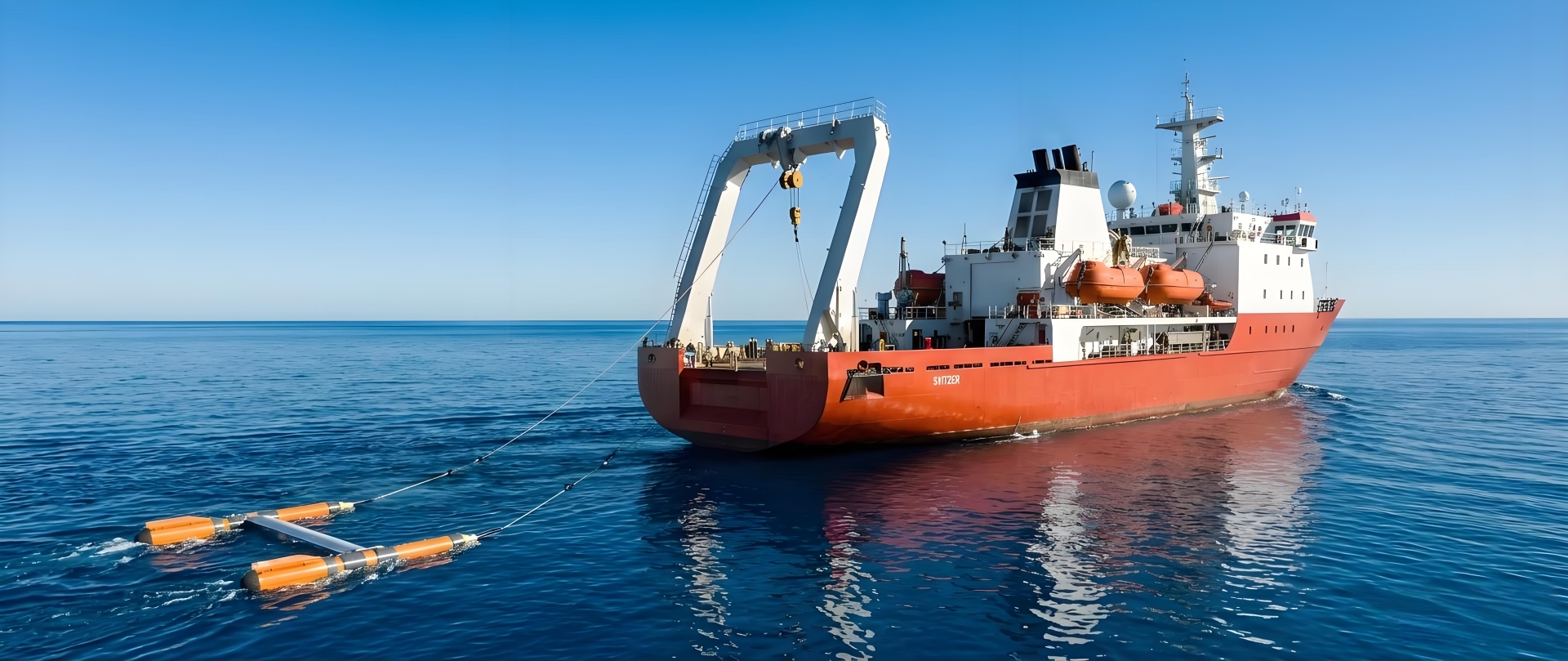
    Flexible Deployment Options

    Supports multiple operation modes—surface tow, AUV integration, near-bottom tow—adapting to various survey resolutions and detection depth requirements.

  • High-Resolution Seabed Topography & Sub-Bottom Profiling System

    Fine-Scale Terrain & Geomorphology Mapping

    Kongsberg EM series multibeam systems deliver centimeter-precision digital terrain models (DTMs), clearly revealing micro-topographic features

    Shallow Geological Structure Imaging

    The EdgeTech 2000 series side scan sonar and shallow subsurface profiling integrated system are used to simultaneously obtain acoustic images of the seabed surface and the structure of underground sedimentary layers, revealing sedimentary sequences, unconformities, and shallow structures.

    Comprehensive Geological Interpretation

    Based on acoustic data, it is possible to classify sediment, identify geological hazards (such as landslides and pockmarks), and analyze sedimentary environments.

  • Comprehensive Geophysical Data Processing and interpretation

    Multi-Source Data Fusion & Imaging

    Utilize professional software such as SonarWiz and Oasis Montaj to fuse, grid, and visualize multi beam, side scan, shallow section, and magnetic data for imaging.

    Quantitative Magnetic Anomaly Inversion

    Provide quantitative interpretation services such as base depth estimation and magnetic modeling based on magnetic anomaly data to deepen geological understanding.

    Standardized Maps & Reports

    Deliver comprehensive geophysical maps (topographic maps, geomorphological maps, shallow subsurface interpretation maps, magnetic anomaly maps) and geological interpretation reports that comply with geological survey standards.