01/ 05
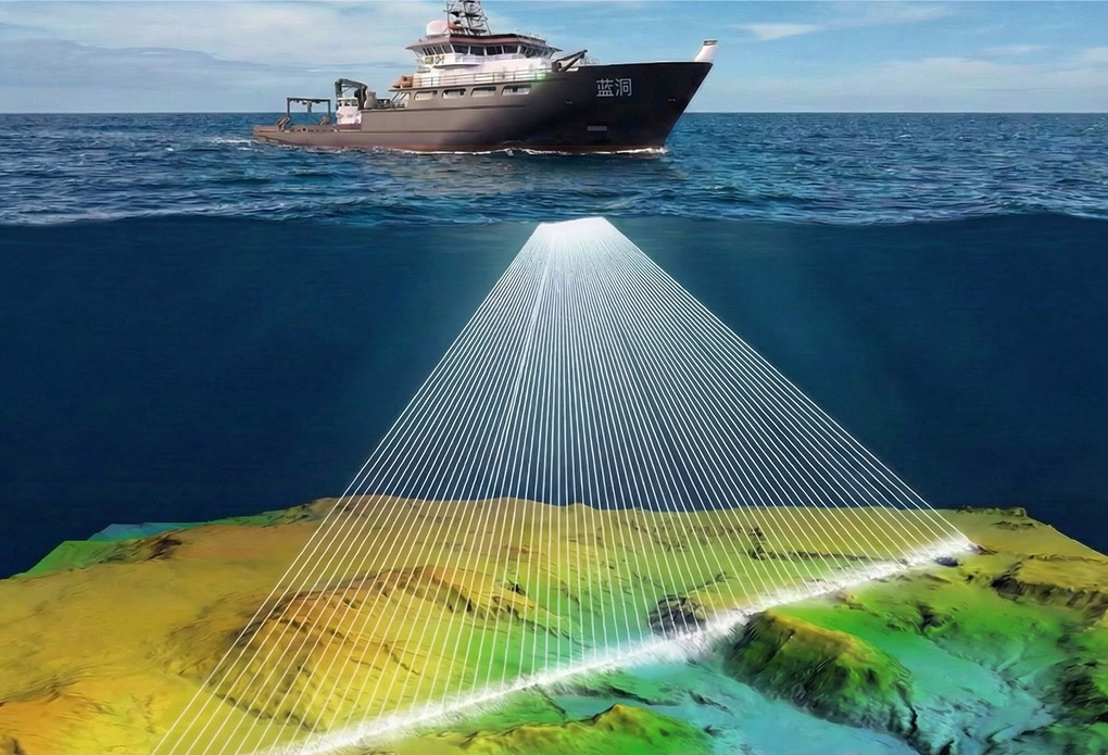
Mapping & Surveying Equipment
Kongsberg 2040 / R2Sonic 2024 / Reson 7152 Multibeam Systems:
Deliver high-resolution 3D seabed topography and 2D side-scan imagery—ideal for hydrographic surveying and marine engineering investigations.
Edgetech 4200/3200 Side Scan Sonar & Sub-Bottom Profiler:
Enable high-resolution seabed feature mapping and sub-bottom stratigraphic data acquisition.
Klein 3900: A portable, lightweight solution for high-resolution seabed feature mapping.
Edgetech 2000DSS Side Scan & Sub-Bottom Profiler:
Simultaneously acquires side scan imagery and sub-bottom profile data—a one-stop solution for underwater target detection and geological structure analysis.
02/ 05
Geophysical Exploration Equipment
Seaspy2 / G880 / G882 Single Magnetometer & TVG Horizontal Gradiometer:
High-precision detection of underwater ferrous targets—widely used in pipeline surveys, shipwreck searches, and geological investigations.
03/ 05
Navigation&Positioning Equipment
Octans Fiber Optic Gyrocompass:
Delivers high-precision attitude and heading data for seabed and topographic mapping.
Sagsea Series High-Precision FOG INS:
Provides ideal high-precision positioning and attitude corrections for bathymetric surveys. Supports BeiDou PPP. The IP68-rated subsea version enables integrated mounting with sonar—eliminating the need for calibration.
Seapath 320 Integrated INS:
A combined inertial navigation system supplying comprehensive positioning and attitude data.
MPS 865: A professional positioning system for marine survey and construction operations, offering high-accuracy position and heading information.
04/ 05
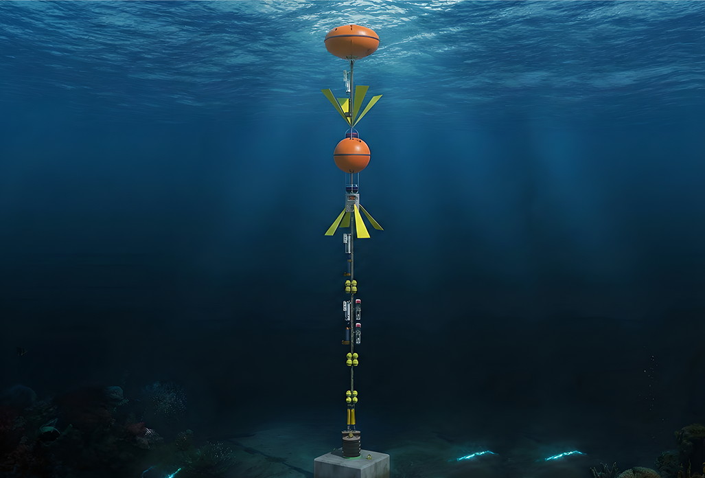
Physical Oceanography Equipment
TRDI ADCP:
Measures current velocity and flow—ideal for river and nearshore hydrological monitoring.
Seabird CTD:
Provides high-precision conductivity, temperature, and depth data.
05/ 05
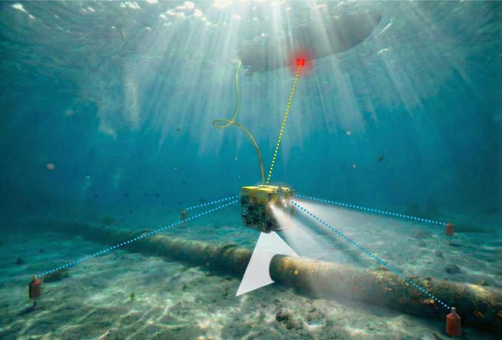
Underwater Engineering Equipment
Blueview M-Series 2D Sonar — Real-time acoustic imaging for inspection and target ID.
Kongsberg DAS 3D Sonar — Long-term, remote scour and sedimentation monitoring.
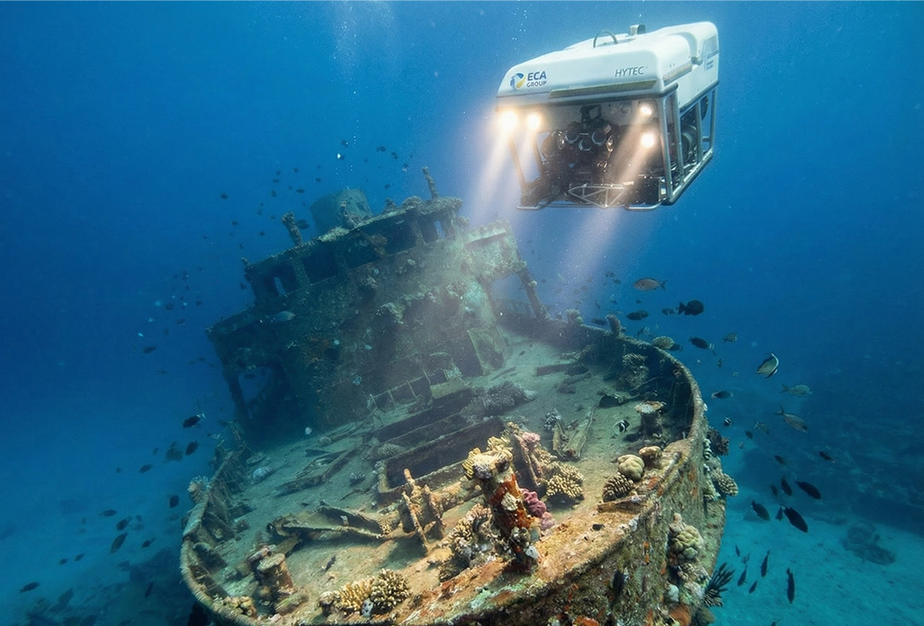
ECA H800 ROV — Expandable, powerful. Ideal for close-range inspection and near-bottom surveys.
BlueROV2 — Lightweight, rapid-deployment ROV for video observation and surveys.
Ixblue R5 Deep Release — Reliable deep-water recovery for moorings and assets.
Benthos Medium-Deep Release — Deployment and recovery up to 1,000 meters.
In-House Shallow Release — Light-load acoustic release for tide gauges and current meters.
Timed Release — Programmable deployment/recovery for tide gauges, hydrophones.
RBR solo Tide Gauge — Tidal data for bathymetric surveys.
AML Sound Velocity Profiler — Precise layered SV data for multibeam and USBL ray bending correction.