
Software

Mapping & SurveyingSingle-beam Echo SounderMultibeam Echo SounderUnderwater Positioning EquipmentUnderwater Imaging SystemAuxiliary Measuring EquipmentPhysical OceanographyCurrent MeasurementSound Velocity & CTD MeasurementWave & Tide MonitoringMulti-parameter MonitoringGeophysical ExplorationMagnetic Survey EquipmentUnderwater EngineeringUnderwater Observation SystemNear-Bottom Tow VehiclesUnderwater Acoustic CommunicationAuxiliary EquipmentSoftwareNavigation SoftwareProcessing & Analysis SoftwareData Management SoftwareSatelliteSatellite Communication Positioning
HomeProductsGlobal PartnersSoftware
 
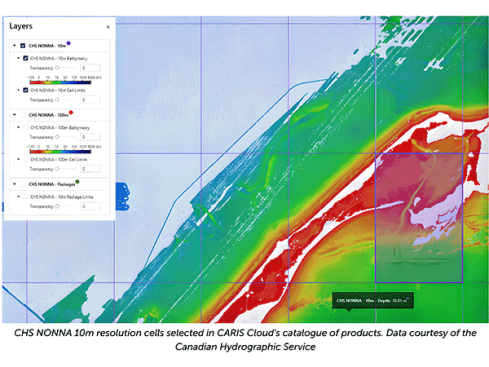
CARIS HIPS and SIPS hydrological data processing software

CARIS HIPS and SIPS hydrological data processing software

CARIS HIPS and SIPS is a globally leading comprehensive data processing system that provides professional level data processing solutions for marine surveying, hydrological surveys, and marine scientific research with ov
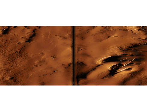
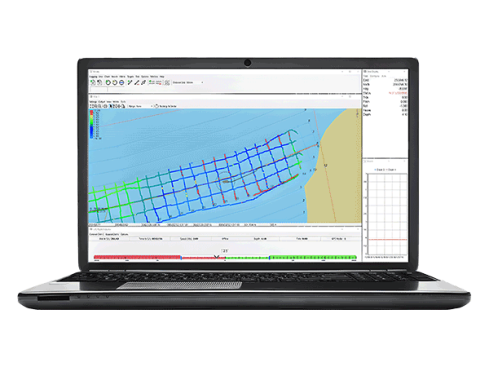
CARIS HIPS and SIPS hydrological data processing software

CARIS HIPS and SIPS is a globally leading comprehensive data processing system that provides professional level data processing solutions for marine surveying, hydrological surveys, and marine scientific research with ov
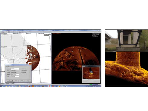
SonarWiz series professional geophysical and hydrological data processing software

SonarWiz series professional geophysical and hydrological data processing software

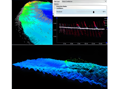
The SonarWiz series is an industry standard geophysical data processing software suite developed by Chesapeake Technology in the United States, providing a complete ocean geophysical data acquisition and post-processing

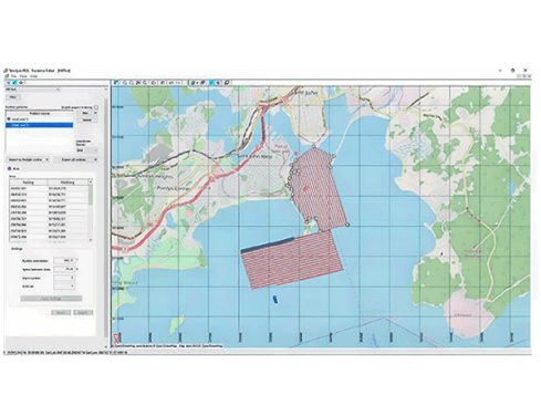
HYPACK series measurement and navigation software

HYPACK series measurement and navigation software

The HYPACK series software is a professional hydrological, geophysical, and environmental measurement software suite under the American company Xylem, providing a complete solution for water data acquisition and processi

HYPACK series measurement and navigation software

The HYPACK series software is a professional hydrological, geophysical, and environmental measurement software suite under the American company Xylem, providing a complete solution for water data acquisition and processi

Kongsberg MS1000 sonar processing software

Kongsberg MS1000 sonar processing software

Kongsberg MS1000 is an advanced sonar processing software platform based on the Microsoft Windows operating system.

Kongsberg MS1000 sonar processing software

Kongsberg MS1000 is an advanced sonar processing software platform based on the Microsoft Windows operating system.

CARIS Collect Marine Measurement Data Collection Software

CARIS Collect Marine Measurement Data Collection Software

CARIS Collect is a modern ocean measurement data collection software that simplifies the creation and management process of ocean measurement projects through an intuitive user interface.

CARIS Collect Marine Measurement Data Collection Software

CARIS Collect is a modern ocean measurement data collection software that simplifies the creation and management process of ocean measurement projects through an intuitive user interface.

CARIS Bathy DataBASE Water Depth Database Management System

CARIS Bathy DataBASE Water Depth Database Management System

CARIS Bathy DataBASE is an advanced water depth data management system built on the CSAR engine and mature RDBMS technology, providing a powerful and scalable storage and analysis solution for the growing sonar and LiDAR

CARIS Bathy DataBASE Water Depth Database Management System

CARIS Bathy DataBASE is an advanced water depth data management system built on the CSAR engine and mature RDBMS technology, providing a powerful and scalable storage and analysis solution for the growing sonar and LiDAR