HYPACK series measurement and navigation software
Home/Products/Global Partners/Software/Navigation Software/HYPACK series measurement and navigation software

HYPACK series measurement and navigation software

Professional measurement navigation and data processing software

The HYPACK series software is a professional hydrological, geophysical, and environmental measurement software suite under the American company Xylem, providing a complete solution for water data acquisition and processing from single beam depth measurement, geophysical exploration to environmental parameter mapping. This series of software supports the integration of multiple sensors and autonomous underwater vehicle (AUV/USV) control, and is suitable for various professional scenarios such as ocean surveys, river management, underwater engineering, and environmental monitoring.

The HYPACK series includes four core products: HYPACK ECHO (single beam depth measurement), HYPACK GEOPSYICS (geophysics), HYPACK ENVIRONMENT MAPPING (environmental mapping), and the upgradable HYPACK MAX full-featured kit. All products are developed based on the unified HYPACK core platform, which has high compatibility, scalability, and technical support guarantee.

HYPACK series measurement and navigation software

Key Features & Advantages

Main Applications

  • Waterway and seabed topography survey

    Used for topographic mapping and dredging monitoring of ports, waterways, rivers, and seabeds.

  • Geophysical exploration

    Used for underwater pipeline and cable exploration, sunken ship search, geological survey, etc.

  • Environmental monitoring and water quality mapping

    Conduct spatiotemporal distribution mapping of parameters such as water flow velocity, temperature, salinity, turbidity, etc.

  • Engineering and Infrastructure Testing

    Support the detection and monitoring of underwater structures, dams, and bridge foundations.

  • Research and Military Applications

    Provide professional data support for marine scientific research and military hydrological surveys.

Specifications


Technical indicators

HYPACK ECHO

HYPACK GEOPHYSICS

HYPACK ENVIRONMENTAL MAPPING

Product positioning Single beam depth measurement and navigation 
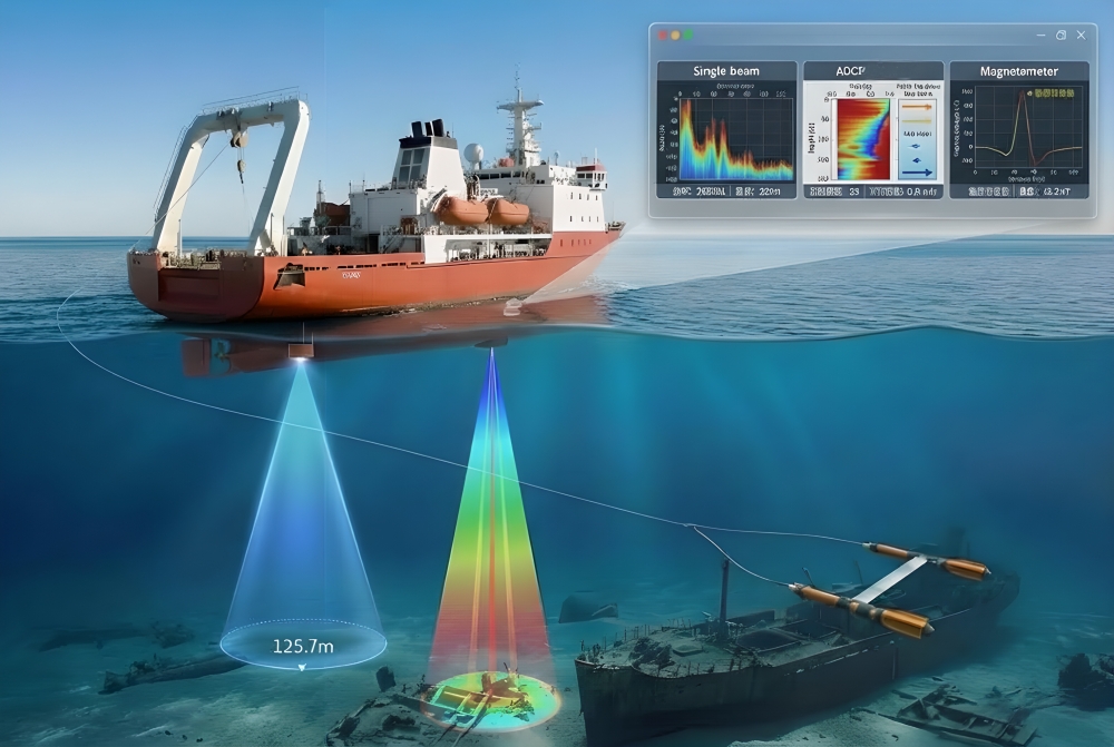
Geophysical data collection and processing Multi parameter environmental mapping and water quality monitoring
Core functionality
Measurement type Single beam water depth Side scan, magnetic field, shallow section ADCP、 Water quality sensors, flow rate, temperature, etc
Positioning support

GPS, RTK, NMEA-0183

GPS/GNSS/RTK/INS

GPS, RTK, DVL bottom tracking
Device compatibility Atlas, Knudsen, Kongsberg and other 20+brands

Klein, EdgeTech, Marine Magneticswait

SonTek, YSI, Nortek, RDIwait

Autonomous navigation support

MAVLink, SeaRobotics

MAVLink, Seafloor, Spatialnetics

i3XO, HYCAT, SeaRoboticswait

Data processing and output
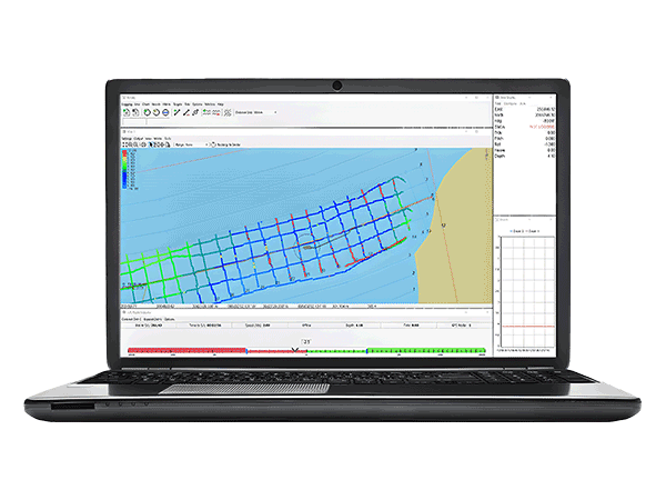
sPss Data Editor 

SBMAX64

Side scan, magnetic, shallow layer editor Real time QA/QC and post-processing
Export format

XYZ, DXF, HS2x, KMZ

DXF, Contour lines, target recognition files CAD, ESRI, Chart, contour line
Figures Demanded  Isobath, profile, echo map Side scan mosaic map, magnetic contour line, stratigraphic profile Salinity/temperature distribution map, velocity vector map, flow report
Core Features Simple and efficient, supports upgrading to MAX Multi device integration, modern gain algorithm Multi parameter synchronous acquisition and spatiotemporal data comparison